
Land Visualizations (Client Friendly)
What is Land Visualizations?
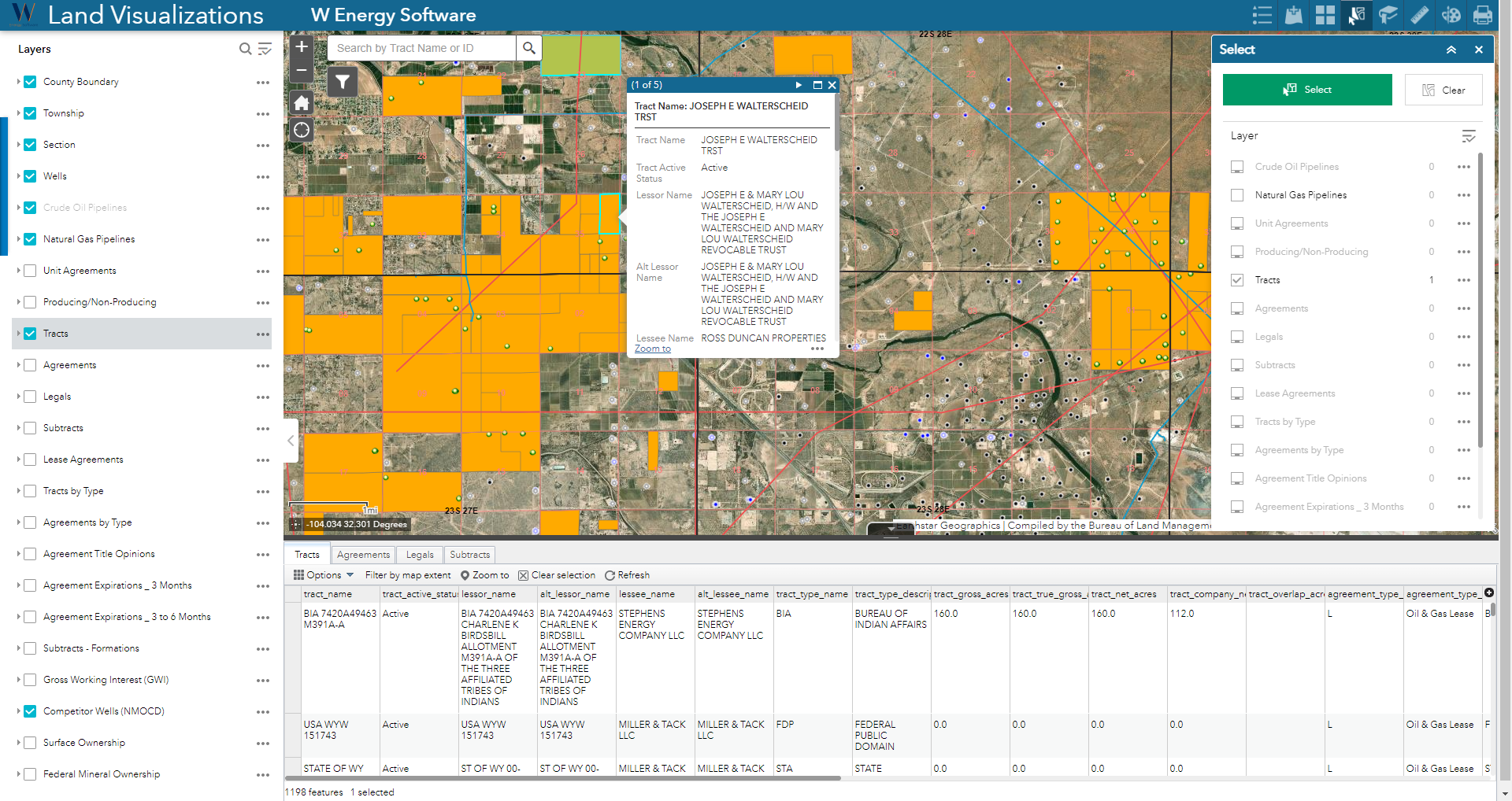
Land Visualizations is an Esri web application used to explore oil & gas wells, land parcels, tracts, agreements, and other contextual data in the area of operations.
Why would a client use Land Visualizations?
Land Visualizations takes textual data from the W main application and can take 3rd party information and places it on a map to spatially provide context and reference to employees and contractors outside of the GIS department. Important discussions and decisions can be made with the tools and functionality of Land Visualizations.
Since the web application is read only, the source data cannot be edited here, thus the GIS data is safe from accidental updates/corruption.
This web app is cost effective for clients that wish to have end users outside of the GIS department to view web maps but are not looking to purchase a relatively pricey ArcGIS Desktop/Pro license subscription for each person.
Prerequisites to Accessing Land Visualizations
The following are prerequisites to accessing Land Visualizations:
W Energy Land module
ArcGIS Desktop or ArcPro
W Energy GIS module
At least one of the following ArcGIS subscriptions:
ArcGIS Online
ArcGIS Portal
How does this concept impact/feed other areas in the application?
Land Visualizations impacts any other module/department that feeds information into the web application. For example, the Land module feeds Land legal descriptions into GIS, thus GIS is able to produce map layers that display lease agreements.
Other items worth noting that would impact the process.
Changes coming soon
Known issues with the process
Frequently Asked Client Questions
Links provided are from W Energy Software Support Confluence Space @a user