
GIS
What is GIS 🌎
A Geographic Information System (GIS) is a structure that builds, maintains, evaluates, and draws data. W Energy GIS consists of two components:
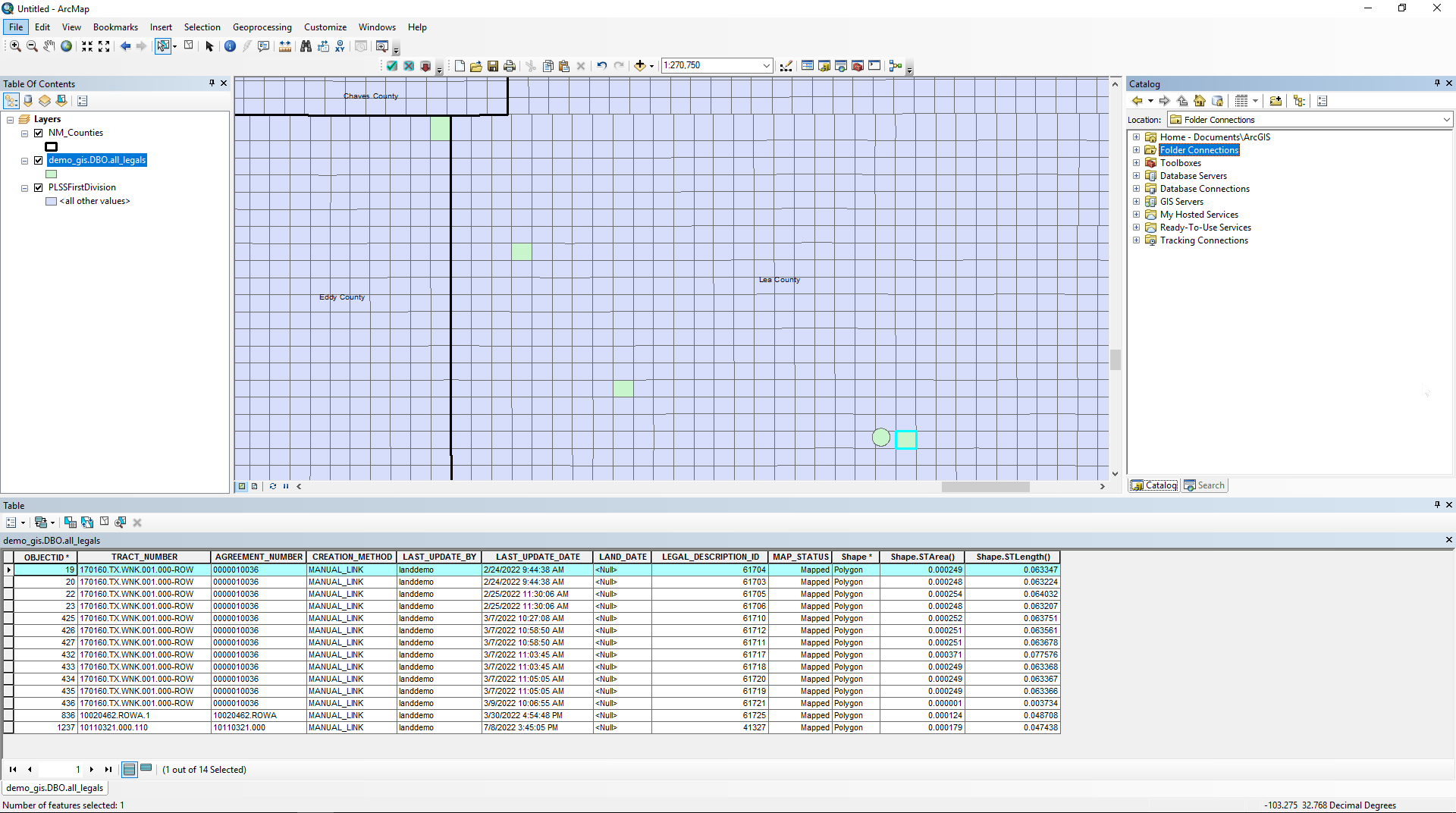
GIS Desktop: Consists of ArcGIS Desktop with the W Energy Spatial Add-In for GIS Analysts
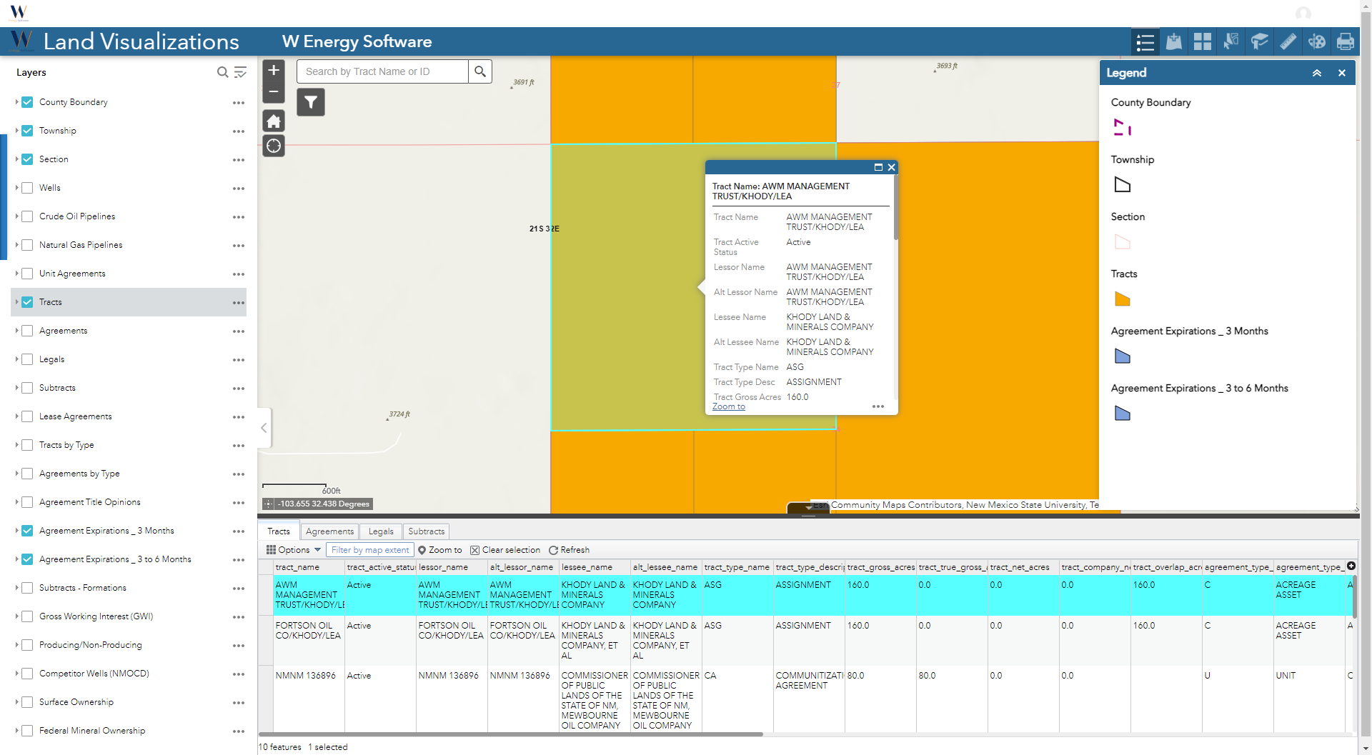
Web Applications: Consists of 1+ read only web apps that can be consumed by non-GIS Analysts
Why would a client use W Energy GIS
The W Energy GIS module automatically maps the Legal Descriptions that the Land Analyst inputs and rolls up and stores the polygons across multiple levels.
Who benefits from the use of GIS (if users would benefit or customers of users)
Saves tens of thousands of manual drawing and linking hours by automapping the polygons
Maintains the polygons in a standard format to ensure uniformity across all polygons
Presents the textual Land data in a spatial manner to visually analyze the ownership and prospect areas
Web maps allow non-GIS Analysts to analyze and evaluate maps without the high cost of ESRI Desktop licenses
Discovery Session with Client 🗺️
Below are standard/common questions to ask the client before the GIS implementation initiates.
Where do you physically have assets as well as what kind of existing data they have for those assets?
Would you prefer to automap to our out-of-the-box, open-sourced, grid data or would you want to provide us with your own?
How many GIS end users will there be?
Will a Basic or Standard ESRI license be provided?
Are you also purchasing the web map component on top of the Desktop piece?
Do you have a preference for which coordinate system the output polygons should be in?
Do you have any legacy polygons previously drawn that you wish to import into the W Energy system?
If yes, the legacy polygons must be drawn at the legal item level with unique text identifiers.
How to setup GIS 🏗️
Upload Land Legal Descriptions into the Test environment.
Create GIS Test environment.
Request for the ArcGIS license from the client.
Setup the VDI with ArcGIS Desktop and the W Energy Spatial Add-In.
Create the empty GIS database.
Add standard GIS database objects.
Stage the database connections in ArcGIS Desktop.
Automap the Land Legal Item polygons in the GIS Test environment.
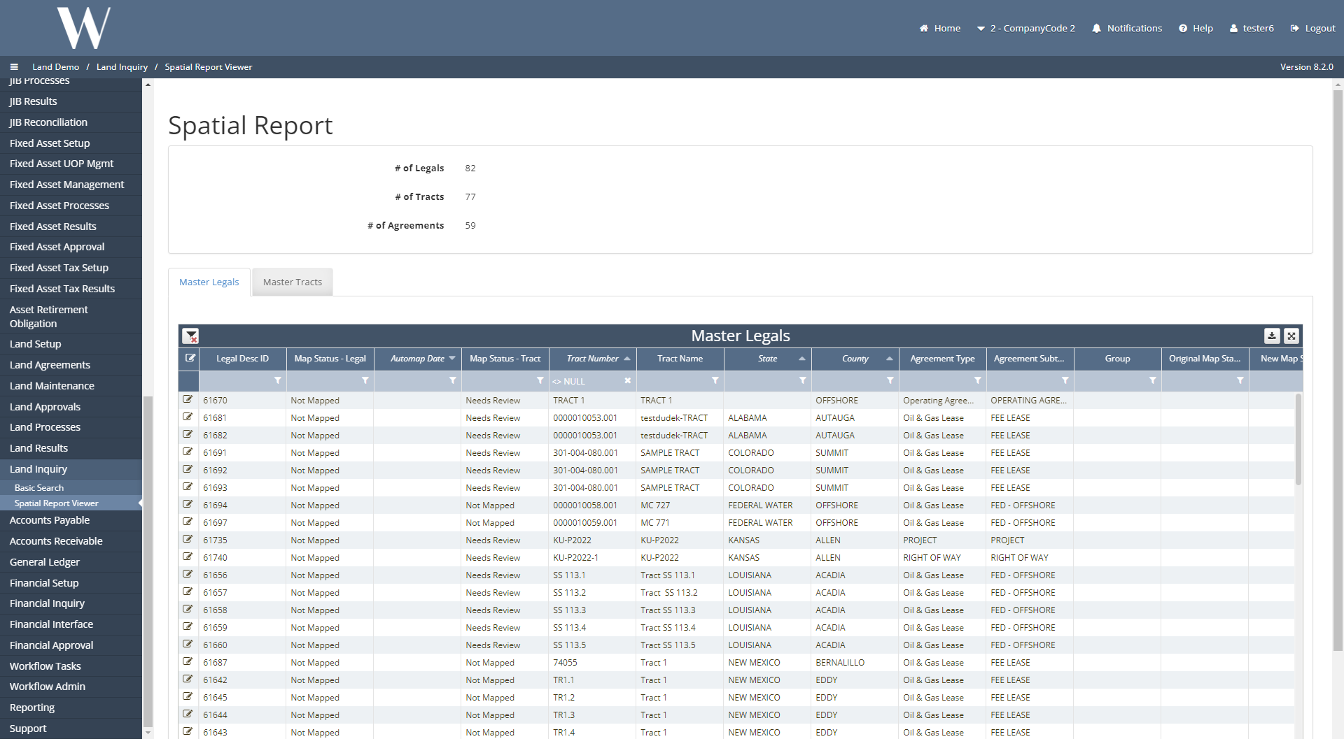
Configure the Spatial Report Viewer in Test.
Validate the following in Test:
Link Polygon and Unlink Polygon Tools function as expected.
automapper_log table functions.
The legal item polygon rolls up to the tract and agreement levels.
Validate the automapped polygons are accurate.
Query Staging Tool and Automapper functions.
Spatial views are populated or the Join & Save Script and Shortcut functions.
Create the GIS shortcuts in Test.
Prod Cutover:
Validate the Legal Ids in Test and Prod match their parent tracts and legal descriptions.
Link the Test polygons to Prod Legal Ids.
Repoint the Link and Unlink Polygon Tools from Test to Prod.
If this is an Enterprise Geodatabase Client, configure the Scheduled Nightly Task.
Validate the polygons in Prod.
Configure the Spatial Report Viewer in Prod.
If client requested for a nightly export of layers to the FTP, please configure.
If client purchased the web map component, coordinate with the GIS Web Developer on deployment.
How does this concept impact/feed other areas in the application?
Mapping Land Legal Item/Tract polygons provides insight to the following areas for Land Analysts:
Validation that the Legal Description is mappable.
Provides data to the GIS Web app(s) for the rest of the company to analyze.
Validates whether the Legal Acreage makes sense once the Calculated GIS Acreage is populated.
Other items worth noting that would impact the process.
Changes coming soon
ArcGIS Pro (ArcPro) integration will replace the current ArcGIS Desktop offering for Desktop clients.
W will continue to support current clients on ArcMap, but if clients request for additional features, clients will need to upgrade to Pro.
For current Desktop clients, W asks for the client’s internal keycodes file if client wishes for the Enterprise Geodatabase to be enabled.
Known issues with the process
Frequently Asked Client Questions
Links provided are from W Energy Software Support Confluence Space
WEMAIN-4506