
Creating the Standard GIS Shortcuts 🏃
What are the GIS Shortcuts?
The GIS shortcuts are shortcut files that run the common GIS tools. These shortcuts can be made for the: Query Staging Tool, Automapper, Join & Save.
Why would a client the GIS Shortcuts?
This is a more convenient and efficient manner in running the Query Staging Tool and Automapper. The alternative method is described later in this article.
How to setup the GIS Shortcuts
To create the shortcuts:
Open File Explorer on the VDI.
Copy the file directory where the wsquerystaging.py and the wsautomap.py live.
Test: C:\GIS\Python\spatial\TEST\WEnergySpatialAddin\Install
Prod: C:\GIS\Python\spatial\PROD\WEnergySpatialAddin\Install

On the VDI Desktop, right-click and create a new text document.
You can name this as you please, but this is a shortcut to running the Query Staging Tool.
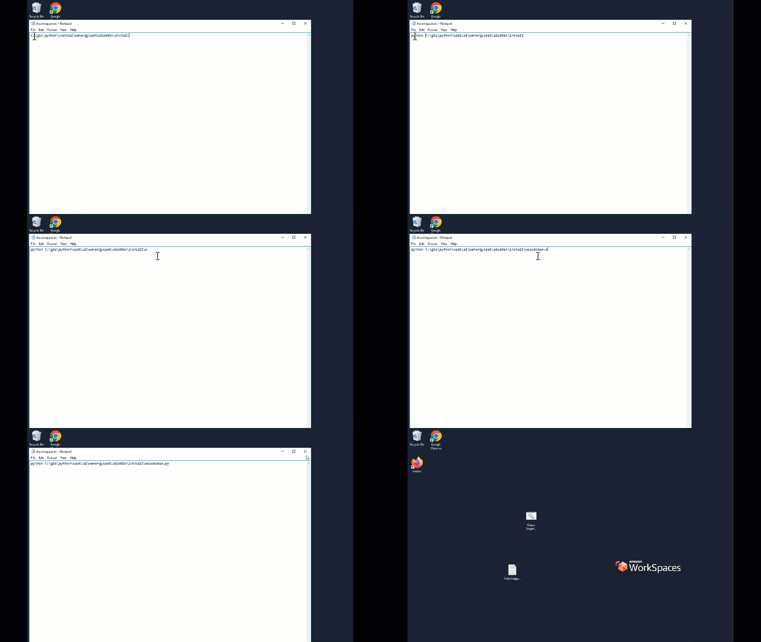
Paste the file path into the text document.
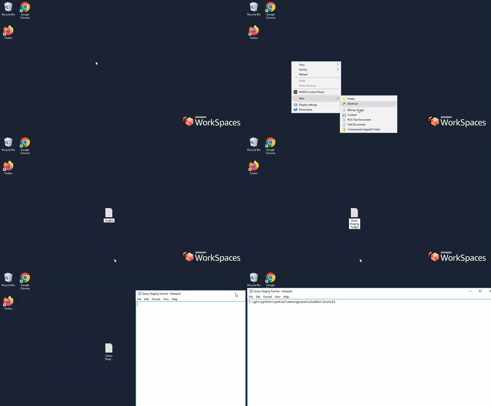
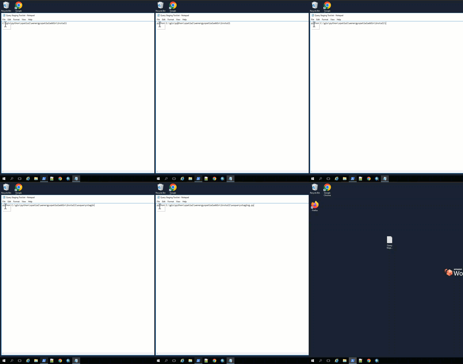
Type “python “ at the beginning of the file path followed by the Query Staging Tool python script name at the end.
Not shown here; a helpful but optional addition is to type “pause“ on the 2nd line of the file. This is so that once we call on the batch file later, the file will remain open once the job completes rather than close automatically.
Save the file and exit it.
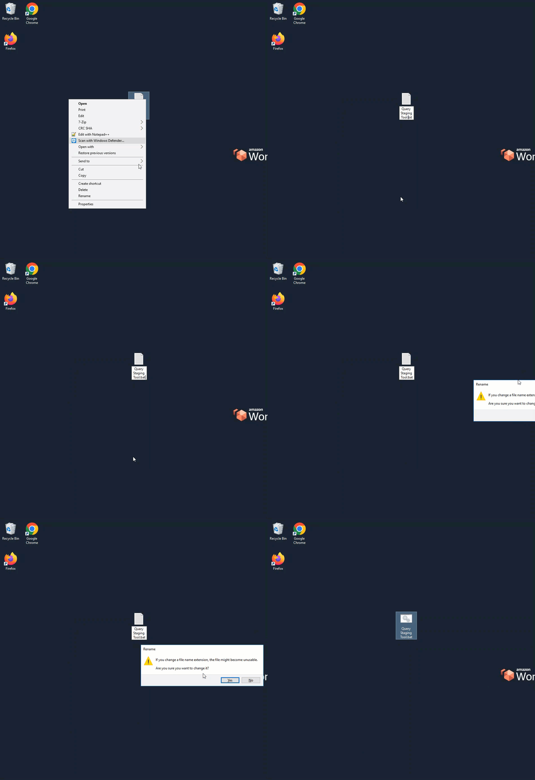
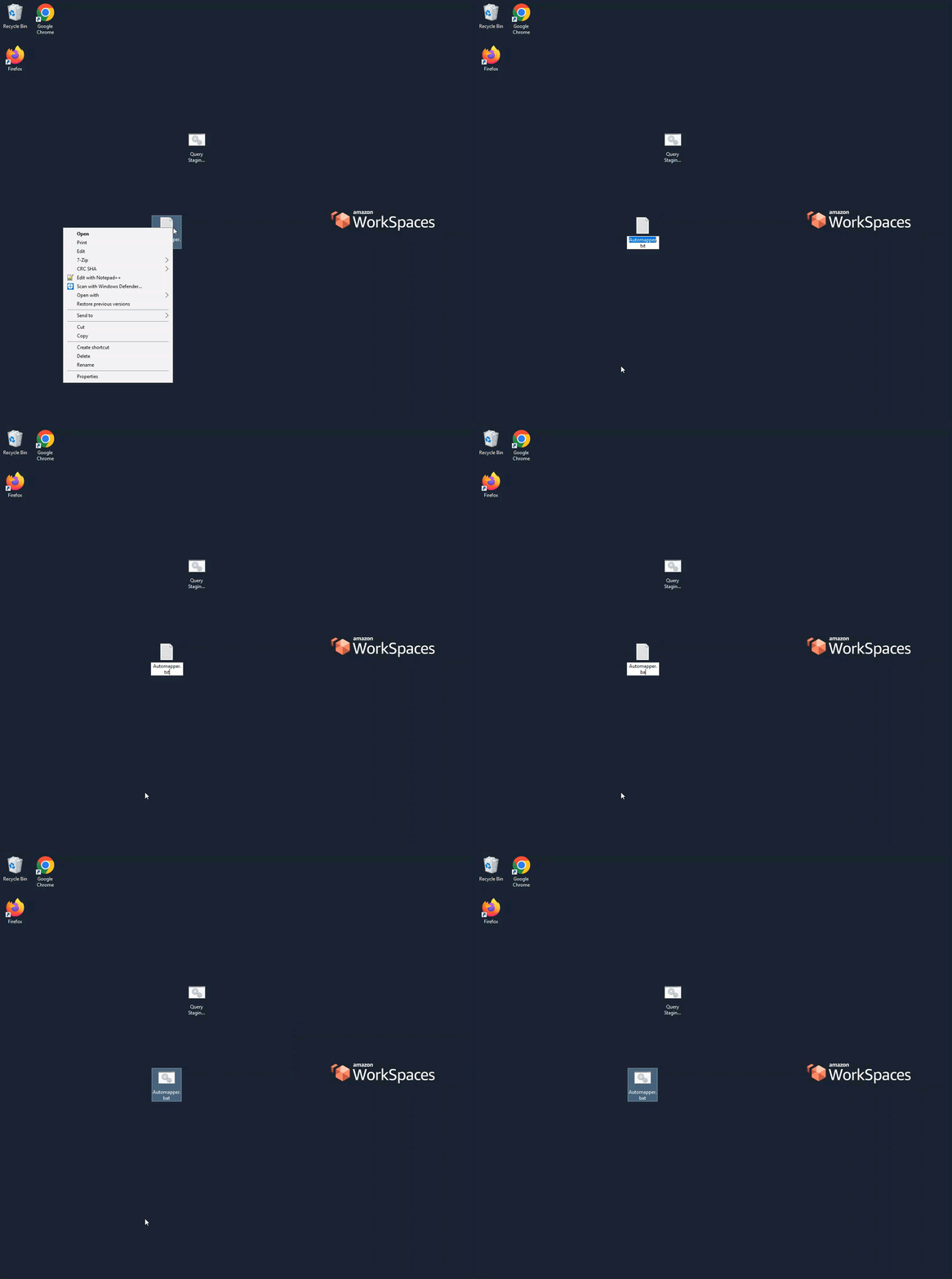
Update the file from a text file to a batch file by changing the file extension from “.txt“ to “.bat“.
Repeat the process for the Automapper by creating another text document on the VDI Desktop.
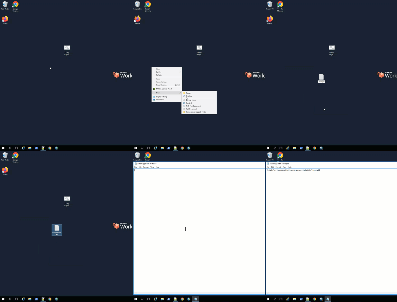
Paste the same file path into the text document.
Type “python “ at the beginning of the file path followed by the Automapper python script name at the end.
Save the file and exit it.
Update the file from a text file to a batch file by changing the file extension from “.txt“ to “.bat“.
These shortcuts can now be ran by double-clicking on the Query Staging shortcut first, waiting for the tool to complete and the popup window to close.
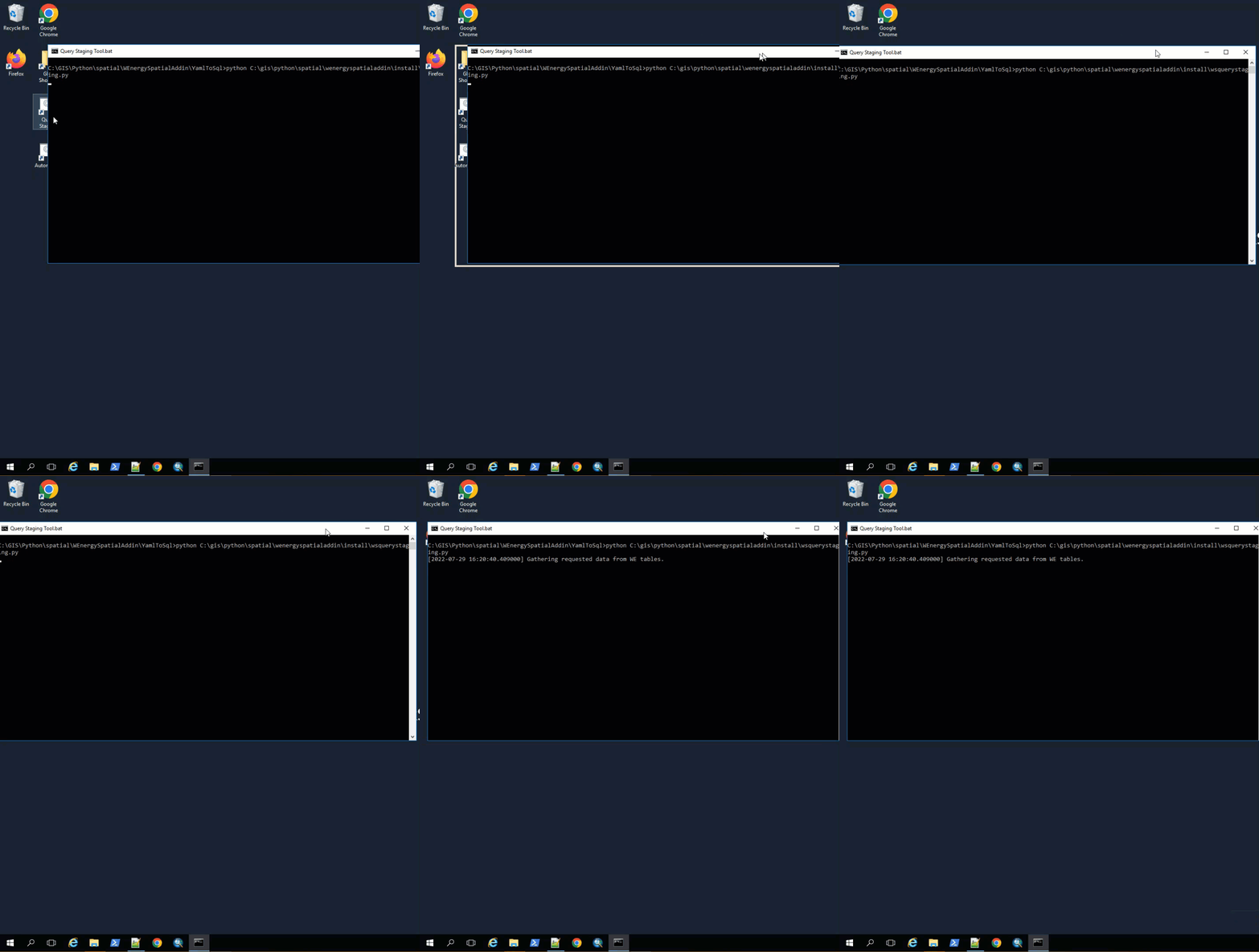
Then double-click on the Automapper shortcut, wait for the tool to complete, and the popup window to close.
📘 Alternative Method to Running GIS Tools
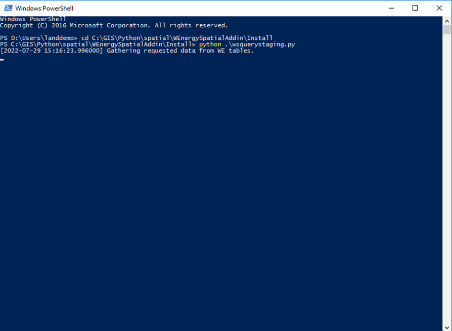
Open Windows PowerShell on the VDI.
Open the file directory and navigate to the Install folder.
Copy the file directory path.
Switch the directory on the PowerShell window by pasting the file directory path in the window.
Type in the python commands for the Query Stage and then the Automapper.
How does this concept impact/feed other areas in the application?
This impact to other areas in the application are the same as running the normal Query Staging and Automapper tools. This provides insight to the Land Analyst and any other department that consumes the web map what properties the client owns, what prospects the client is looking into, how much ownership the client has in particular areas, etc.
Frequently Asked Client Questions
Can the 2 shortcuts be combined? Yes, the 2 shortcuts can be combined into 1 shortcut. The separate line items from each shortcut can be combined into 1 shortcut if the client desires.